


- Company
- Products
- Catalogs
- News & Trends
- Exhibitions
V200
V200
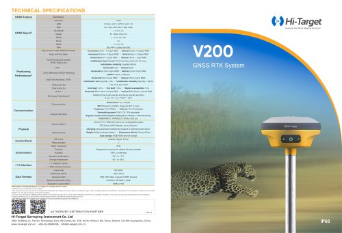
- Stability: The Hi-Target Hi-Fix ensures continuous connectivity and quality results even under extreme conditions.
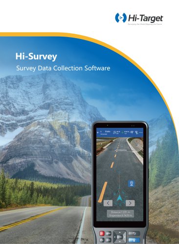
- Survey Software: Hi-Survey software supports AR stakeout, optimized tilt survey, and advanced CAD data management.
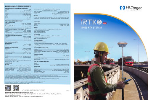
- GNSS Signal: Supports multiple satellite systems including GPS, BDS, GLONASS, Galileo, QZSS, NavIC, and SBAS with 1408 channels.
- Positioning Performance: High-precision static GNSS surveying with horizontal accuracy of 2.5mm + 0.1ppm RMS and vertical accuracy of 3.5mm + 0.4ppm RMS.
- Real-Time Kinematic (RTK): Horizontal accuracy of 8mm + 1ppm RMS and vertical accuracy of 15mm + 1ppm RMS with initialization time typically less than 10 seconds.
- Communication: Equipped with Bluetooth 5.2, Wi-Fi, and internal UHF radio supporting multiple communication protocols.
- Physical Characteristics: Weighs ≤0.8kg, IP68 water/dustproof, and designed to survive a 2m fall onto concrete.
- Environmental Conditions: Operates in temperatures from -10℃ to +55℃ with 100% humidity condensing.
Catalog excerpts
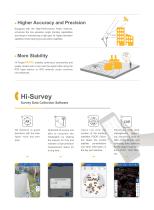
Higher Accuracy and Precision Equipped with the High-Performance Patch Antenna, enhances the low elevation angle tracking capabilities and keeps it maintaining a high gain for higher elevation satellites while tracking low-elevation satellites. More Stability Hi-Target enables continuous connectivity and quality results even if you lose the signal while using the RTK base station or VRS network under extreme circumstances. Survey Data Collection Software CAD AR stakeout to guide directions with the intelligent voice and compass. Optimized tilt survey and able to complete the initialization by...
Open the catalog to page 2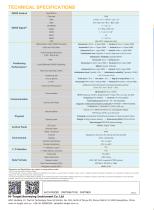
GNSS Feature ^Description and Specifications are subject to change without notice. 1. QZSS L6 can be provided by firmware upgrade. 2. The measurement accuracy, precision, reliability and initialization time depend on various factors, including tilt angle, number of satellites, geometric distribution, observation time, atmospheric conditions and multi-path validation, etc. The data are derived under normal conditions. 3. Accuracies are dependent on GNSS satellite availability. Hi-Fix Positioning ends after 5 minutes without differential data.Hi-Fix is not available inall regions, checkwith your...
Open the catalog to page 3All Hi-Target catalogs and technical brochures




Archived catalogs
 V200
2 Pages
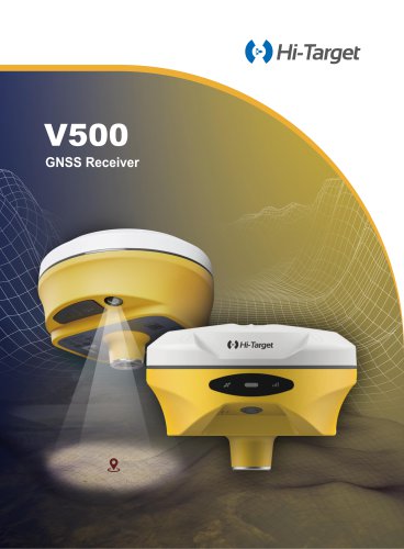
 V500 GNSS Receiver
2 Pages
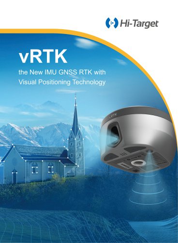
 vRTK
4 Pages
- Agriculture software
- GNSS receiver
- On-board multi-purpose instrument
- Data management software
- GPS receiver
- GLONASS receiver
- Guiding system
- GALILEO receiver
- Analysis software
- RTK receiver
- Digital multi-purpose instrument
- Multi-purpose instrument with screen
- Automated auto steering kit
- Precision agriculture receiver
- Precision agriculture software
- Crop input controller
- Mapping software
- On-board crop input controller
- Agriculture machine auto steering kit
- Tractor auto steering kit