


- Company
- Products
- Catalogs
- News & Trends
- Exhibitions
V600L
V600L
GNSS Channels and Signals:
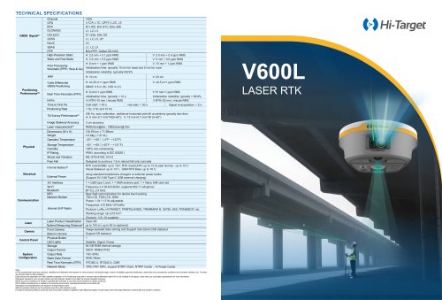
The device supports multiple GNSS systems including GPS, BDS, GLONASS, GALILEO, QZSS, NavIC, and SBAS. It can handle a variety of signals such as L1C/A, L1C, L2P(Y), L2C, L5, and others, providing comprehensive satellite coverage.
Positioning Accuracy and Performance:
The system offers high precision with horizontal accuracy of 2.5 mm + 0.1 ppm RMS and vertical accuracy of 5 mm + 0.5 ppm RMS. It supports various positioning methods like Real Time Kinematic (RTK), Post Processing Kinematic (PPK), and Precise Point Positioning (PPP). Initialization time is typically under 10 seconds with reliability over 99.9%.
Environmental Specifications:
The device operates in temperatures ranging from -20℃ to +50℃ and can be stored between -40℃ and +55℃. It is designed to withstand a 1.8 m fall onto concrete and is rated IP68 for water and dust resistance.
Communication and Interface:
Equipped with Bluetooth 5.2, Wi-Fi, NFC, and a network modem supporting TDD-LTE, FDD-LTE, and GSM. It includes a USB Type-C port, SMA antenna port, and Nano SIM card slot.
Battery and Power:
The internal battery supports up to 16 hours of operation in RTK mode and can be charged via standard smartphone chargers or external power banks.
Laser and Imaging Technology:
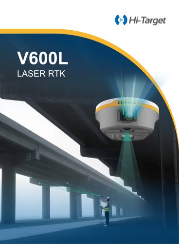
The V600L Laser RTK integrates GNSS, IMU, dual-camera, and laser technologies for precise fieldwork. It features visual laser targeting and non-contact measurement with up to 5 cm accuracy within 10 m.
Software and Compatibility:
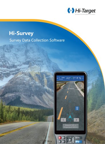
Hi-Survey software is designed for land survey and road engineering projects, compatible with Android devices and Hi-Target controllers. It supports big data operations and offers customized industrial solutions.
Additional Features:
The device includes a built-in LoRa radio for cross-brand compatibility, supporting multiple protocols with a working range up to 15 km. It also features a CAD real-scene 3D stakeout engine for precise measurement integration.
Catalog excerpts

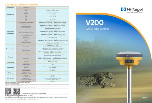
TECHNICAL SPECIFICATIONS [IJThe measurement accuracy, precision, reliability and initialization time depend on various factors, including tilt angle, number of satellites, geometric distribution, observation time, atmospheric conditions and multi-path validation, etc. The data are derived under normal conditions. [2] Accuracies are dependent on GNSS satellite availability. Hi-Fix Positioning ends after 5 minutes without differential data.Hi-Fix is not available in ail regions, check with your local sales representative for more information. [3] lrregular operations such as rapid rotation and high-intensity vibration may affect the inertial navigation accuracy. [4] The accuracy is tested by Hi-Target in specified test scenarios, it may have some deviations in certain scenarios. [SJThe battery operating time is related to the operating environment, operating temperature and battery life. Descriptions and Specifications are subject to change without notice [6] Communication distance can be achieved when the LoRa protocol is used [7] Optimal measuring distance achieved under favourable conditions (nighttime, high-reflectivity targets). Actual range varies with target reflectivity, ambient light and weather conditions.
Open the catalog to page 1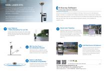
V600L LASER RTK Hi-Target next-generation Laser RTK that combines GNSS, IMU, dual-camera, and visible laser technologies for immersive, efficient, Hi-Survey Software Survey Data Collection Software and precise fieldwork—especially in environments like under bridges, Hi-Survey is an Android software that is designed for all types of land survey and road engineering near fences, or across ditches. projects in the field. It is compatible with Hi-Target professional controllers, Android phones, tablets and With visualized laser targeting and non-contact measurement, it other third-party Android devices....
Open the catalog to page 2All Hi-Target catalogs and technical brochures



Archived catalogs
 V200
2 Pages
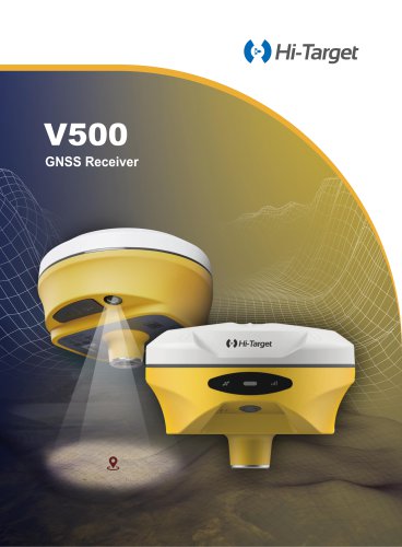
 V500 GNSS Receiver
2 Pages
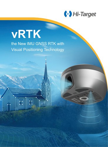
 vRTK
4 Pages
- Agriculture software
- GNSS receiver
- On-board multi-purpose instrument
- Data management software
- GPS receiver
- GLONASS receiver
- Guiding system
- GALILEO receiver
- Analysis software
- RTK receiver
- Digital multi-purpose instrument
- Multi-purpose instrument with screen
- Automated auto steering kit
- Precision agriculture receiver
- Precision agriculture software
- Crop input controller
- Mapping software
- On-board crop input controller
- Agriculture machine auto steering kit
- Tractor auto steering kit