eME10
1 /4Pages

eME10
1 /4Pages
Catalog excerpts
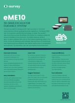
3D GNSS EXCAVATOR GUIDANCE SYSTEM The eSurvey eME10 is designed with high accuracy in mind and consumes less time by guiding excavator operations. It employs GNSS real-time dynamic positioning technology to obtain the bucket's real-time and accurate 3D position information by reading multiple tilt sensors installed on the excavator. The eME10 features intuitive, easy-to-learn software that runs on the Android operating system. The state-of-the-art hardware and software help operators of all skill levels work faster and more efficiently than before, particularly in complicated environments. To summarize, you can accomplish more in less time. Improved Accuracy Lower Cost Improved Efficiency Bucket teeth with 3cm accuracy. No assistant is required; One person Simplified construction process, 50% Visualized the blind spots and can complete the work. Reduce the higher efficiency. real-time guidance during the working Quick excavation, reduced rework, and guaranteed construction period. Results are displayed graphically and required; Simply start the machine 24-hour construction without being digitally for easy understanding. and work. Reduce fuel consumption Reduces over- and under-excavation and mechanical loss to reduce No fear of complex shapes; while improving the general flatness of operating costs. One-time molding. Rugged Hardware Fast Calibration years even under harsh environmental method will provide customers with conditions (like dust, mud, rain, a brand-new way of measuring that extreme heat, and cold) thanks to its does not require a total station. Easy rugged design of the display, GNSS and quick to learn and run; No need receiver, positioning antenna, heading calculate the parameters on site. Easy Installation One man can install all. Work faster and more efficiently by guiding excavator operations, quick for the installation and easy for the operator. Installation could setup on boom or machine body. antenna, and tilt sensors.
Open the catalog to page 1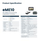
Product Specification eME103D GNSS EXCAVATOR GUIDANCE SYSTEM MA Rugged GNSS Antenna
Open the catalog to page 2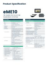
Product Specification eME103D GNSS EXCAVATOR GUIDANCE SYSTEM MDP-1 Display MDP-1 Display
Open the catalog to page 3
©-survey esurvey-gnss.com
Open the catalog to page 4All Shanghai eSurvey GNSS Co., Ltd. catalogs and technical brochures
 P9IV
P9IV2 Pages
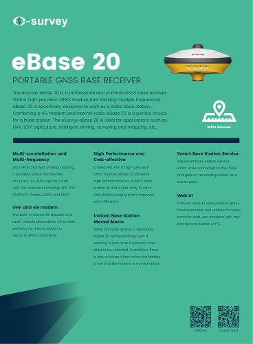 eBase 20
2 Pages
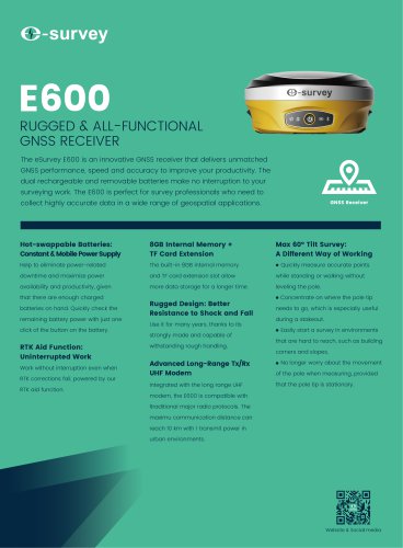 E600
E6002 Pages
 E500
E5002 Pages
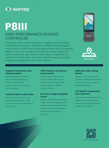 P8III
P8III2 Pages
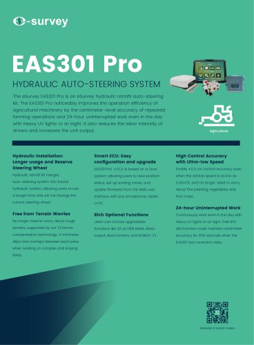 EAS301 Pro Hydraulic
4 Pages
 eTS32
eTS322 Pages
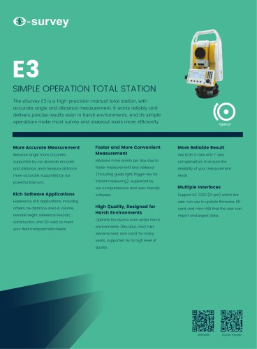 E3
E32 Pages
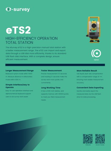 eTS2
eTS22 Pages
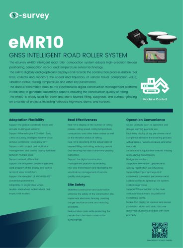 eMR10
eMR104 Pages
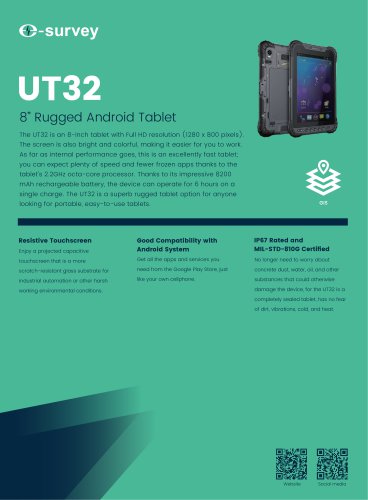 UT32
UT322 Pages
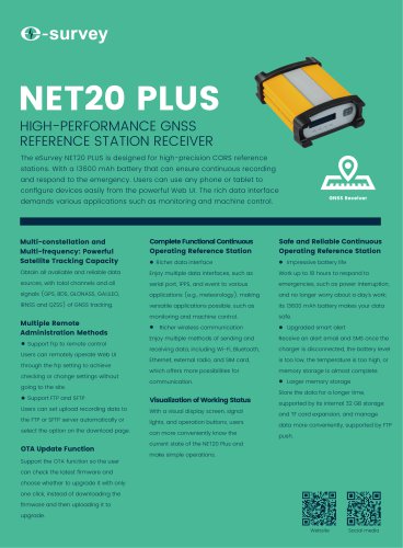 NET20 PLUS
2 Pages
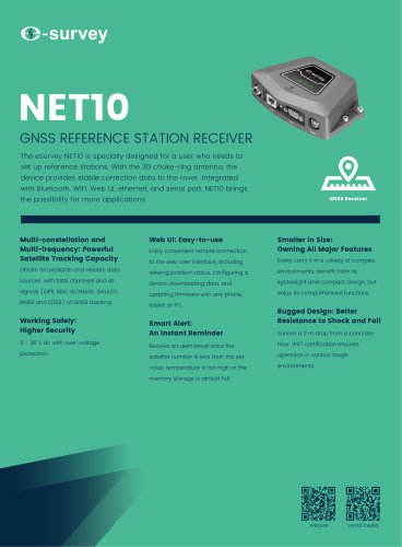 NET10
NET102 Pages
 eDMR1
eDMR12 Pages
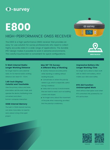 E800
E8002 Pages
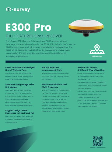 E300 Pro
2 Pages
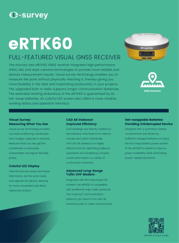 eRTK60
2 Pages
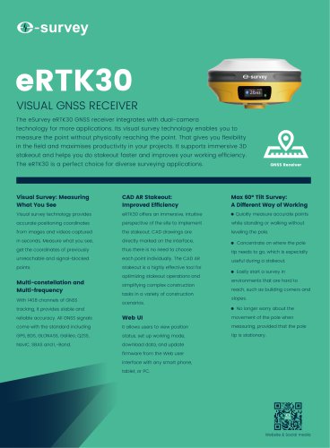 eRTK30
2 Pages
 Product Catalog
50 Pages
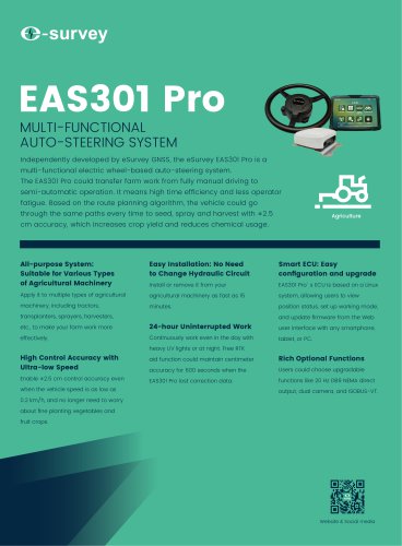 EAS301 Pro Motor
4 Pages
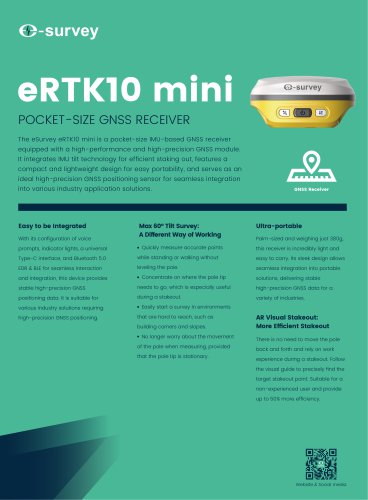 eRTK10 mini
2 Pages
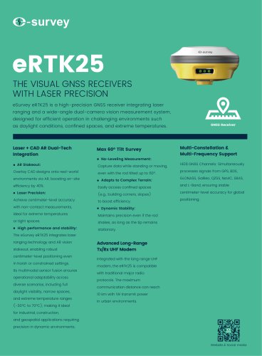 eRTK25
2 Pages
 EAS502
2 Pages
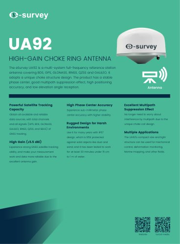 UA92
UA922 Pages
- Agricultural software
- GNSS receiver
- Digital control system
- Data management software
- GPS receiver
- GLONASS receiver
- Guiding system
- GALILEO receiver
- RTK receiver
- Analysis software
- Automated auto steering kit
- Precision agriculture receiver
- Precision agriculture software
- Farm machinery antenna
- Mapping software
- Tractor auto steering kit
- Wireless receiver
- GNSS auto steering kit
- Agriculture machine auto steering kit